
Hello, I'm
Ben Kastner
The core of that work is an object-oriented Python framework I built from small, modular pieces, so we can assemble a reliable custom ETL script for any customer's dataset instead of rewriting one from scratch.
I've also taken on bigger problems when they come up. I ran a build-vs-buy analysis across four internal approaches and five external vendors to replace an unreliable core dataset: the resulting acquisition took our data accuracy from 76% to 98%.
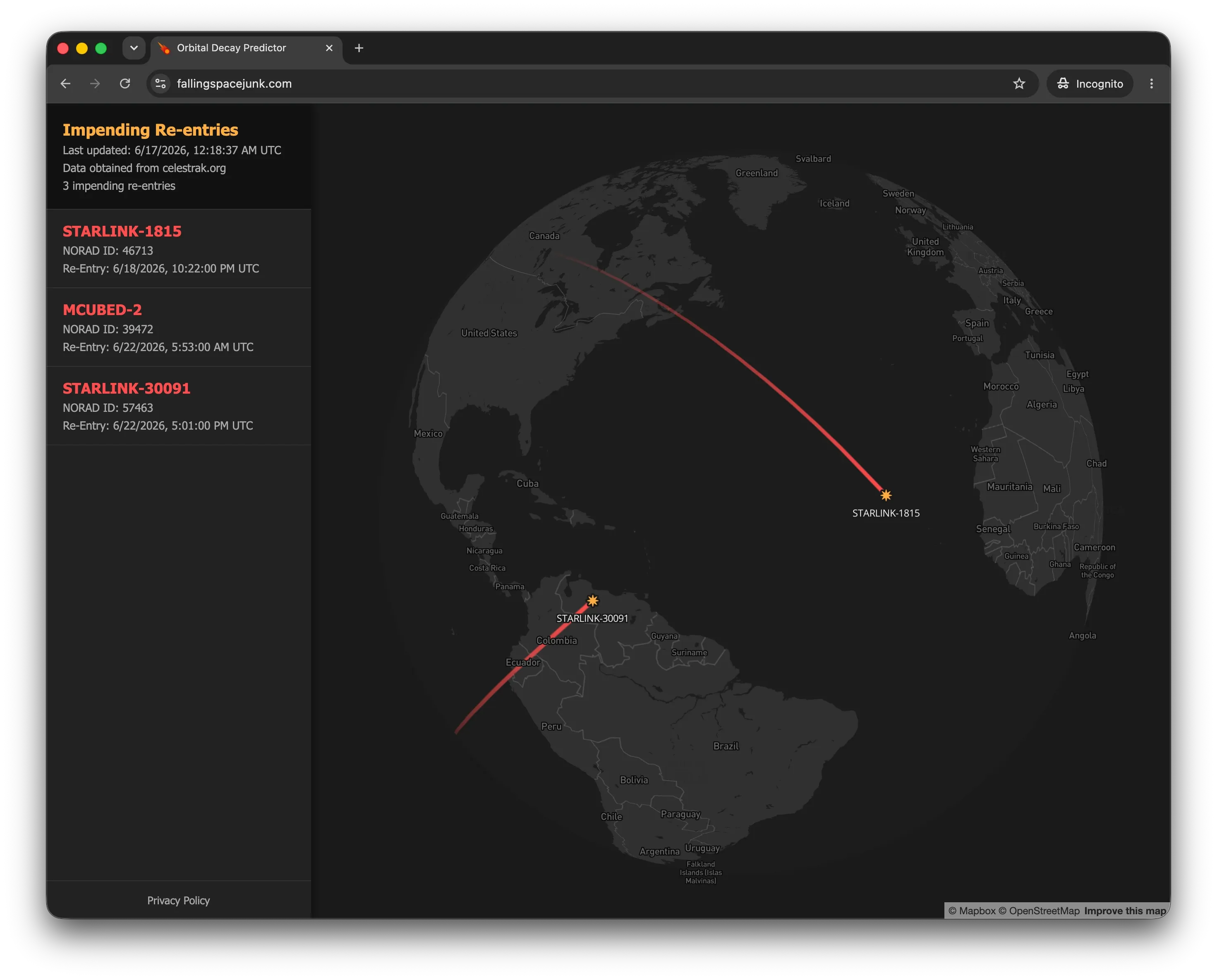
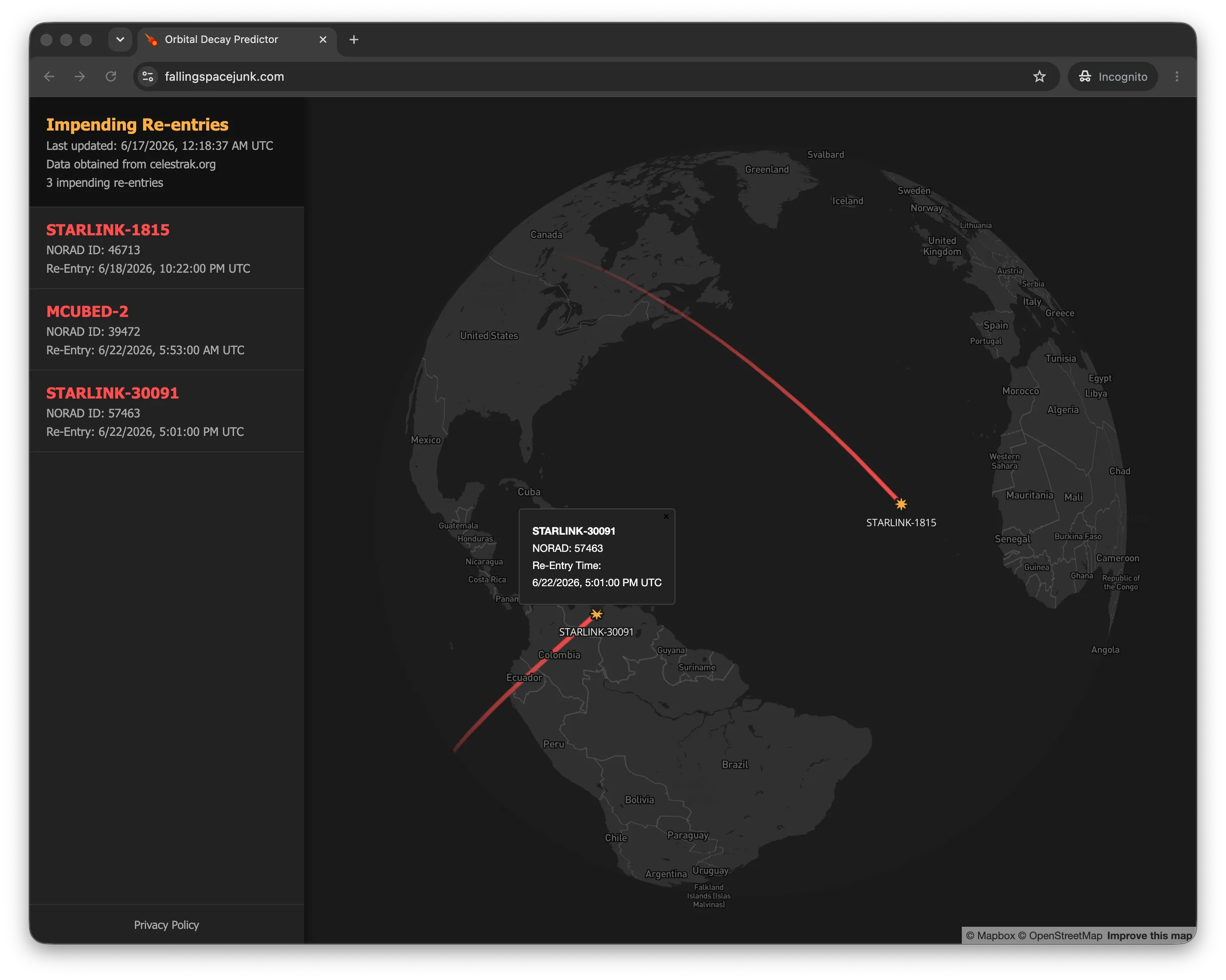
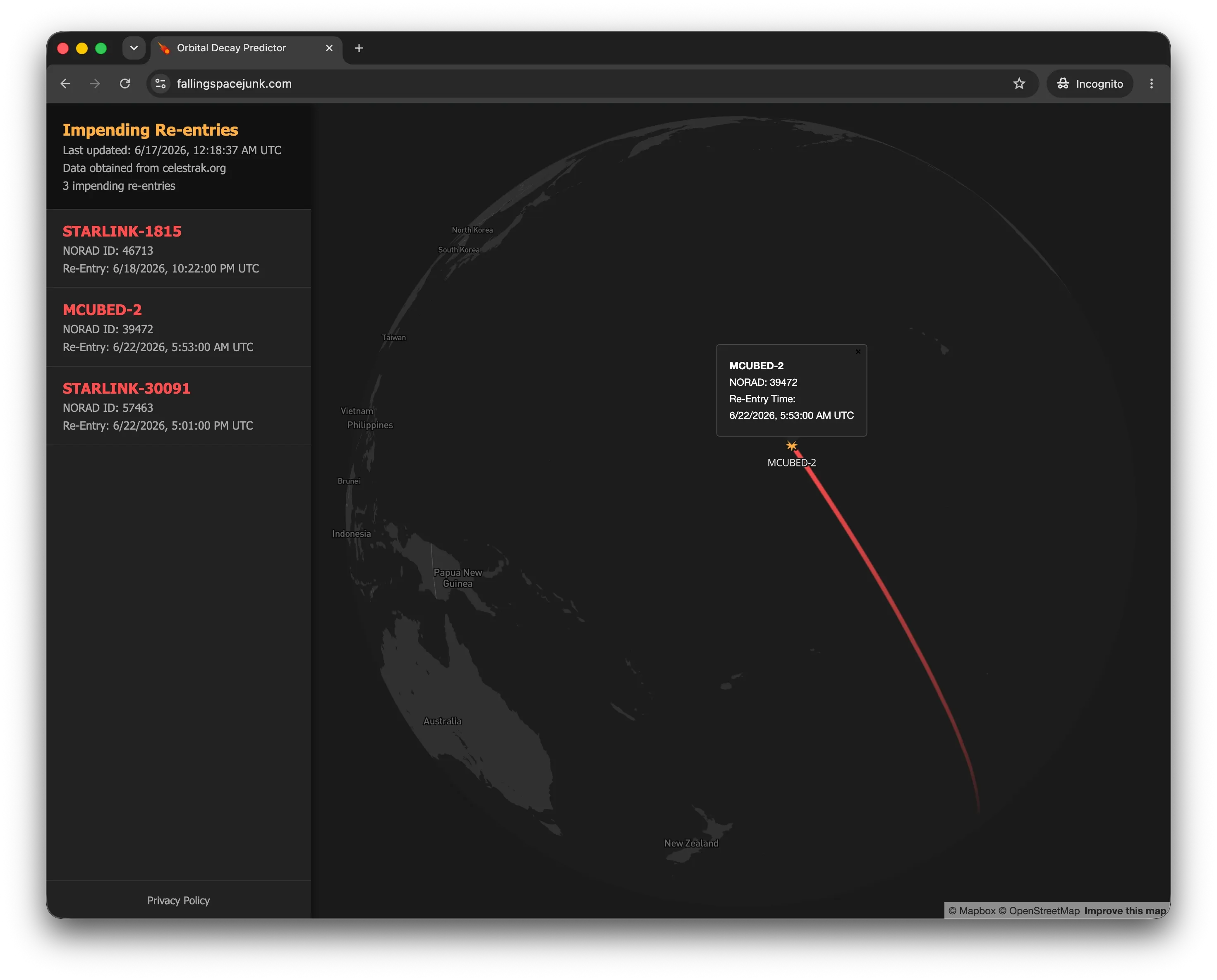
Outside of work I built fallingspacejunk.com, a serverless AWS app that predicts atmospheric re-entries based on satellite orbital data.
/ Career
Lead Data Engineer (Geospatial)
SHOTOVER Systems
I lead the technical strategy for our geospatial data pipelines, from evaluating sourcing options (I ran a build-vs-buy analysis and presented the recommendation to leadership, which led to a data source acquisition that took our accuracy from 76% to 98%) to overseeing pipelines that now process 150 million+ records and keeping global map updates running reliably for aviation and defense customers. I've also trained international clients on-site and mentored each of the engineers who've come through my team.
Data Engineer (Geospatial)
SHOTOVER Systems (formerly Churchill Naviation)
I spent six years building the ETL backbone here, most notably an object-oriented Python framework made of small, modular pieces that let us quickly write a reliable custom ETL script for any customer's dataset instead of writing one from scratch each time. I also wrote the generalized Python/PostgreSQL scripts that parse and clean records at scale, built infrastructure to handle multi-terabyte raster imagery on a tight budget, and automated our FAA/FCC data update cycle to run reliably every 28 days.
Lead Data Engineer (Geospatial)
SHOTOVER Systems
I lead the technical strategy for our geospatial data pipelines, from evaluating sourcing options (I ran a build-vs-buy analysis and presented the recommendation to leadership, which led to a data source acquisition that took our accuracy from 76% to 98%) to overseeing pipelines that now process 150 million+ records and keeping global map updates running reliably for aviation and defense customers. I've also trained international clients on-site and mentored each of the engineers who've come through my team.
Data Engineer (Geospatial)
SHOTOVER Systems (formerly Churchill Naviation)
I spent six years building the ETL backbone here, most notably an object-oriented Python framework made of small, modular pieces that let us quickly write a reliable custom ETL script for any customer's dataset instead of writing one from scratch each time. I also wrote the generalized Python/PostgreSQL scripts that parse and clean records at scale, built infrastructure to handle multi-terabyte raster imagery on a tight budget, and automated our FAA/FCC data update cycle to run reliably every 28 days.
/ Education & Certifications
Bachelor of Computer Science
Calvin College
Capstone Project: Constructed an Ubuntu Linux-based Beowulf cluster, utilizing Ansible for automated node deployment, systems orchestration, and environment configuration.
Capstone Certificate - Advanced Geographic Information Systems
University of Wisconsin - Madison
Completed while working full time.
/ Tech Stack
Backend
Infrastructure
Database
Geospatial Engineering
Collaboration
/ Contact Me
Feel free to reach out!